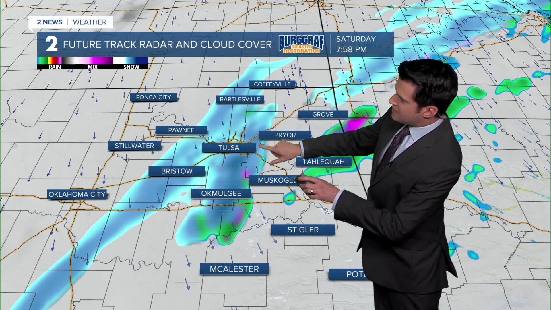

TULSA, OKLA. — Some snow across the area tonight with minor accumulations possible. NNW winds 15-20 mph with gusts up to 30 mph. The low in Tulsa down to 19°.
Sunshine is back on Sunday with the high up to 35°. NNW 10-15 mph with gusts up to 25 mph.
Partly cloudy on Monday with increasing clouds with the low down to around 20°, then up to the mid 40s.
A major winter storm could be on the way by Tuesday with accumulating snows across the region. Look for temperatures to drop during the day ending up in the teens later in the afternoon and early in the evening as an Arctic front blows through. Wind chills plunge to below 0° Tuesday night through Friday.
Lows near 0° Wednesday then highs between 10° and 15° along with mostly cloudy skies.
Morning lows just below 0° Thursday with afternoon highs near 16°. Partly cloudy skies.
Partly cloudy skies on Friday with lows just above 0° and then highs in the mid to upper 20s.
Stay in touch with us anytime, anywhere --
- Download our free app for Apple, Android and Kindle devices.
- Sign up for daily newsletters emailed to you
- Like us on Facebook
- Follow us on Instagram
- Follow us on Twitter
